Draw the map a responder needs.
Someone unfamiliar with the property should be able to find the gate, animals, shutoffs, hazards and a safe route without relying on your memory.
Put the fixed facts in one view
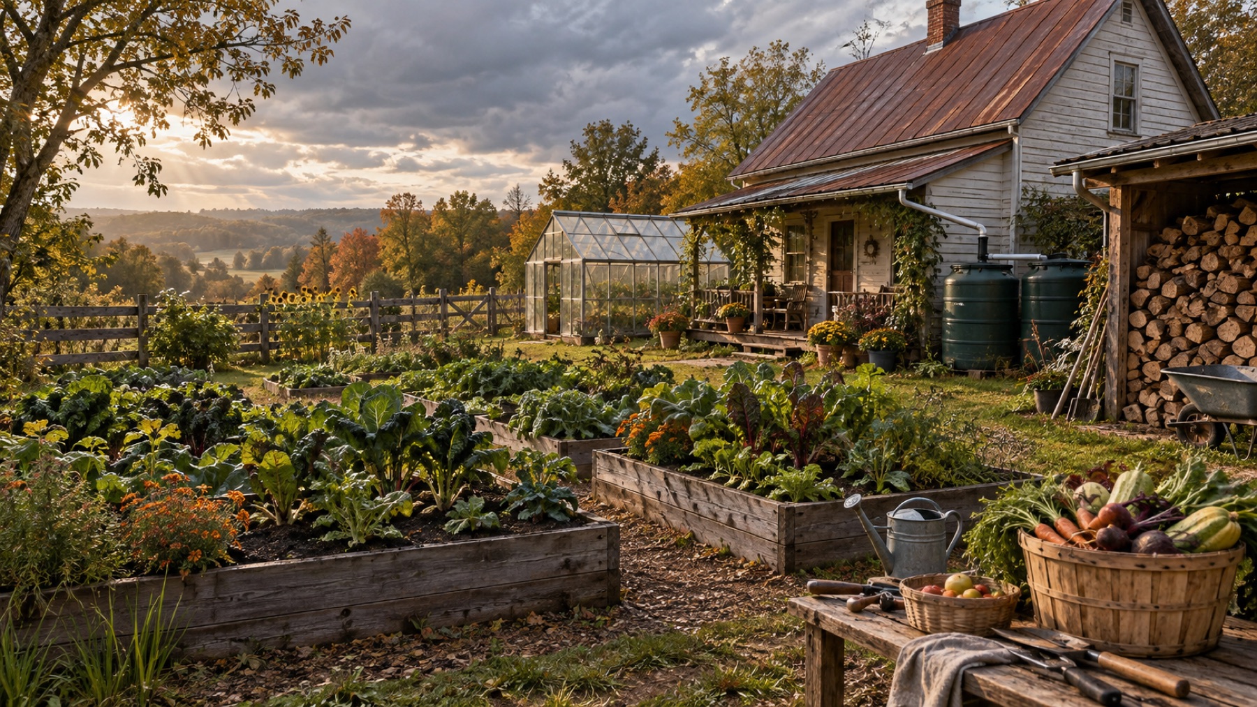
University of Minnesota Extension recommends mapping buildings, access roads, fences and gates, livestock, hazardous substances, and electrical and water shutoffs. Add a north arrow, property address, nearest crossroad, primary and alternate entrances, wells, ponds, fuel, septic components and overhead lines.
Mark where animals normally are and where they could relocate. Use plain labels that remain readable when printed in black and white. Keep sensitive copies secure while ensuring household members and workers know where the emergency copy is stored.
Add decisions beside the map
| Event | Shelter decision | Evacuation trigger | First calls |
|---|---|---|---|
| Wildfire | Only under current official direction | Local order or pre-set earlier threshold | Emergency services; neighbors needing help |
| Flood | Move from low areas early | Rising water or official warning | Emergency services; livestock transport |
| Structure fire | Do not re-enter | Immediate | 911 |
| Long outage | Use dependency map | Water, heat or medical limits reached | Utility; planned destination |
Review at the change of season
Update the map when fences, tanks, chemical storage, animal locations or access routes change. Confirm extinguishers, posted addresses and gate widths. Share relevant planning details with local fire or emergency services when their program permits it.